About Davis Demographics
Since 1993, hundreds of school districts have partnered with Davis Demographics for demographic reporting, student forecasts, school boundary adjustments, and planning software. We serve hundreds of school districts across North America in 34 states and Canada. All our services and software are based on Esri’s ArcGIS software to provide the most trusted and detailed results for district administrators.
Learn more about our company and our team
Learn more about our partnership with Esri
Learn more about our software and consulting services
WHAT WE DO.
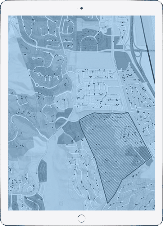
Geography is at the core of planning: All of the work we do is based on WHERE your students reside. By planning based on where students reside verses where they attend school we can be significantly more accurate in our analyses.
Based on Esri’s ArcGIS Software.
Davis Demographics is one of the early clients of Esri, adopting Esri’s GIS software to help school districts solve their problems with student forecasting, school boundary changes.
Esri is the maker of ArcGIS, the gold standard in mapping software. GIS (geographic information systems) is the software that enables Davis Demographics to leverage geography at the core of its planning methodology. Davis Demographics has been business partner with Esri for three decades.


